Heavy rain locks in across UP; Lucknow stays on alert
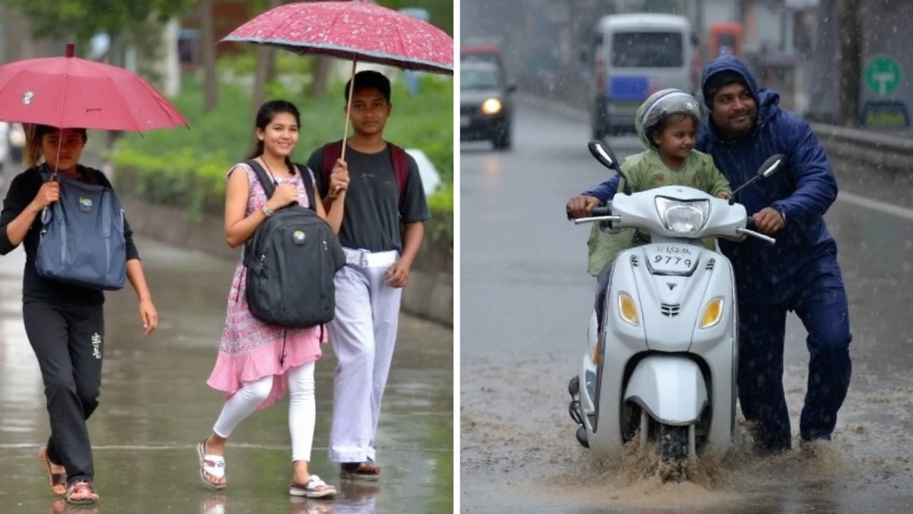
Monsoon bands continue to sit over Uttar Pradesh, keeping large parts of the state soaked and on watch. The India Meteorological Department (IMD) has issued an orange alert for 15 districts in western and central UP, warning of very heavy rain and local disruptions. Lucknow remains under a yellow alert, with on-and-off showers, thunderstorms, and sticky humidity likely to persist over the next couple of days.
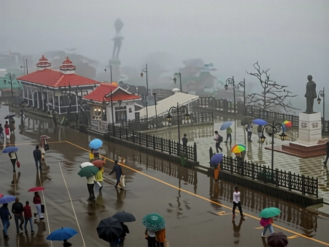
Lucknow woke up to a wet start after overnight downpours from Sunday into Monday. The rain cut through the heat, but it also brought the usual pain spots—water pooling on busy stretches, slower traffic, and the risk of short-term flooding in low-lying colonies. Forecast models show repeated spells through Monday and Tuesday, with some thunderstorms packing gusty winds and intense showers for short periods.
The numbers tell the story. Lucknow recorded 307.8 mm of rain in August alone—52% above its monthly normal of 202 mm. Since June 1, the city has logged 542.7 mm of rainfall in Monsoon 2025, which is about 5% higher than the seasonal average of 519.3 mm for this time of year. Statewide, August was wetter than usual on both sides of UP: western UP recorded 237.6 mm (+4% above normal), while eastern UP logged 244 mm (+1%). Bijnor stood out, clocking a massive 663.5 mm—113% above normal.
Daytime temperatures in Lucknow have eased under the cloud deck. The city recently hit a maximum of 33.7°C, while nights slipped to 27.2°C. Through midweek, expect maximums near 31°C and minimums around 26°C, with humidity pushing into the 90% range during and after showers.
Here’s the alert map at a glance. The orange alert covers Lakhimpur Kheri, Saharanpur, Shamli, Muzaffarnagar, Baghpat, Meerut, Bijnor, Amroha, Moradabad, Rampur, Bareilly, Pilibhit, Shahjahanpur, Sambhal, and Badaun. These districts face a higher chance of very heavy rain in short windows, which can quickly overwhelm drains, flood underpasses, and slow road and rail traffic.
IMD guidance suggests the monsoon will stay active as we roll into early September. Central UP, including Lucknow, is expected to see above-normal rainfall through the month. Nationally, September rainfall is projected at about 109% of the long period average, pointing to a strong finish to the season if the current setup holds.
The IMD’s color codes are straightforward. Yellow means “be aware”—showers and storms are likely, but widespread disruption is not guaranteed. Orange means “be prepared”—intense rain in pockets can bring quick flooding, tree falls, lightning, and power outages. If a red alert is issued (none at the moment), that signals “take action,” with the highest risk of major disruptions.
For anyone tracking UP weather this week, this is a classic active-monsoon picture: persistent moisture, a north-shifted monsoon trough, and back-to-back circulations seeding bursts of heavy rain over the same zones.
What’s driving the rain—and how long it could last
Two systems are doing most of the work. A western disturbance interacting with a cyclonic circulation over north Pakistan and Punjab has nudged the monsoon trough northward, drawing deeper moisture into UP. On top of that, a cyclonic circulation over Madhya Pradesh is inching toward the state. When these features line up with the trough, they tend to trigger repeated, intense showers, especially along the western and central districts.
Meteorologists at the state observatory say this pattern will keep skies mostly overcast, with frequent breaks of moderate rain and a few intense bursts. Mohammad Danish, a senior scientist with the state meteorological department, said the MP circulation will continue to influence UP for the next couple of days, supporting moderate to heavy rain at intervals. Thunderstorms may pop up quickly in the afternoon and evening, with some carrying lightning and brief, blinding downpours.
It’s not just Lucknow. The broader monsoon picture shows western UP sitting in a sweet spot for convergence—where winds meet and air rises—so short, sharp cloudbursts can’t be ruled out. While most showers will be manageable, the combination of already damp ground and fresh heavy bursts can tip some neighborhoods into waterlogging within an hour.
Orange alert districts to watch closely:
- Lakhimpur Kheri
- Saharanpur
- Shamli
- Muzaffarnagar
- Baghpat
- Meerut
- Bijnor
- Amroha
- Moradabad
- Rampur
- Bareilly
- Pilibhit
- Shahjahanpur
- Sambhal
- Badaun
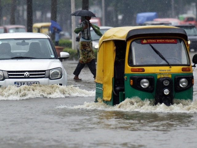
In these districts, brief but very heavy rain can make drains back up, slow trains, and force buses to detour. Roads under flyovers and low-lying intersections are typical trouble spots. Power utilities usually move to manage tree branches near lines during windy storms; still, scattered outages can happen if lightning strikes and trees give way on soaked ground.
For commuters, plan for delays. If you rely on suburban trains or intercity buses, check timings before you leave. Drivers should avoid underpasses and flooded lanes—vehicles stall quickly in knee-deep water, and even shallow moving water can be risky. Two-wheelers are especially vulnerable to skids and hidden potholes in poor visibility.
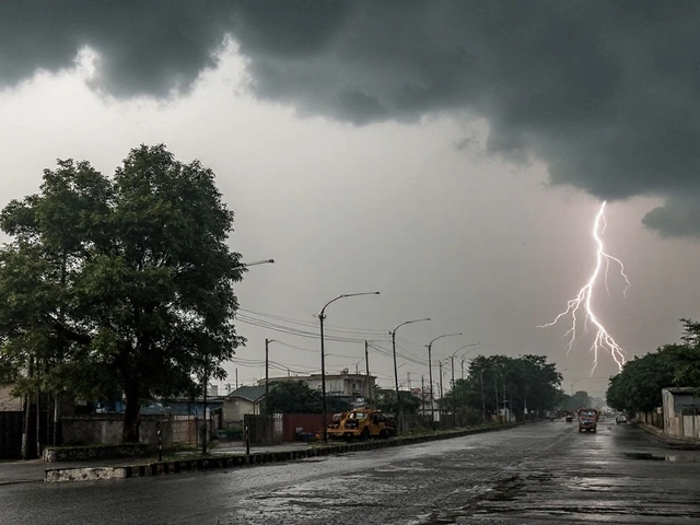
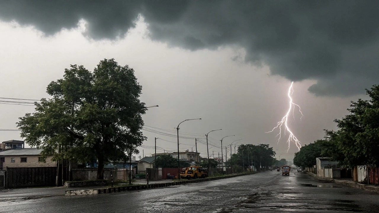
Lightning risks rise in these setups, especially when storms come with frequent cloud-to-ground strikes. Simple rules help: stay indoors during thunderstorms, keep away from metal objects and tall isolated trees, and unplug nonessential electronics during intense cells. If you’re caught outside with no shelter, crouch low with feet together—don’t lie flat on open ground.
Urban flooding is a recurring theme in active monsoon spells. Municipal teams generally step up drain cleaning, run pumping stations near chronic waterlogging points, and put emergency crews on call. District control rooms and disaster response units track alerts and river levels through the day. If your neighborhood floods often, move valuables to higher shelves and keep a battery-powered light, drinking water, basic medicines, and power banks ready.
Rural areas face a different set of trade-offs. The rain is a boon for reservoirs and soil moisture, and it supports late-season irrigation for paddy, sugarcane, and fodder crops. But too much water at once can cause lodging in paddy fields, leach nutrients, and waterlog low-lying plots. Farmers can dig temporary channels to drain excess water, check bunds after heavy spells, and delay fertilizer top-dressing until fields dry to avoid washout. Working in open fields during thunderstorms is a known lightning risk—wrap up and move to shelter when thunder is audible.
For families and small businesses, a little prep goes a long way during an orange alert:
- Don’t wade through flooded lanes—open manholes and live wires can be hidden.
- Avoid parking under weak trees or old hoardings during storms.
- Keep your phone charged and save local helpline numbers.
- Secure loose items on balconies and rooftops before gusty winds hit.
- If you must drive, use low beams in heavy rain and keep extra stopping distance.
- Store drinking water and dry food in case water supply gets muddy for a few hours.
- If you use a generator, run it outdoors to prevent carbon monoxide buildup.
- For apartments with basement parking, check for water seepage warnings.
Looking ahead, the current active phase is expected to hold through at least September 2 in many parts of the state. For central UP, including Lucknow, the IMD outlook points to above-normal rainfall through September. That lines up with the national signal of a wetter-than-usual month. If the trough stays north and fresh circulations keep feeding moisture, western and central districts are likely to see more frequent, short bursts of heavy rain rather than one long continuous spell.
Even with higher totals, not every day will be stormy. There will be breaks—cloudy, humid hours with patchy drizzle—followed by sudden heavy showers. That on-off rhythm is typical of an active monsoon over the plains. The key is to treat each orange alert day as one where a heavy burst could arrive with little notice.
As always, local variations matter. A neighborhood that was dry in the morning can see ankle-deep water by evening if a thunderstorm parks overhead. Keep an eye on updates from the IMD and the state observatory. If your phone pings with a district-level alert, it’s your cue to move plans indoors, wrap up errands early, and leave time for a slower commute.
For now, the mix of a north-shifted trough and recurring circulations keeps the monsoon switched on across much of UP. It’s good news for water tables and reservoirs as summer stress fades. But with saturated ground in many pockets and more rain on the way, the risk of quick waterlogging, tree falls, and lightning stays on the table—especially in the 15 orange alert districts and their neighbors.